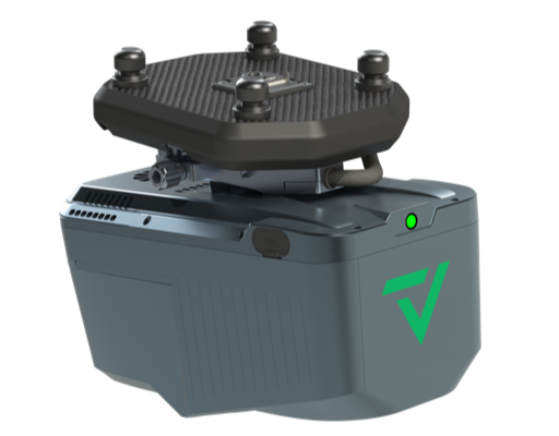
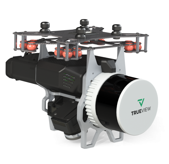
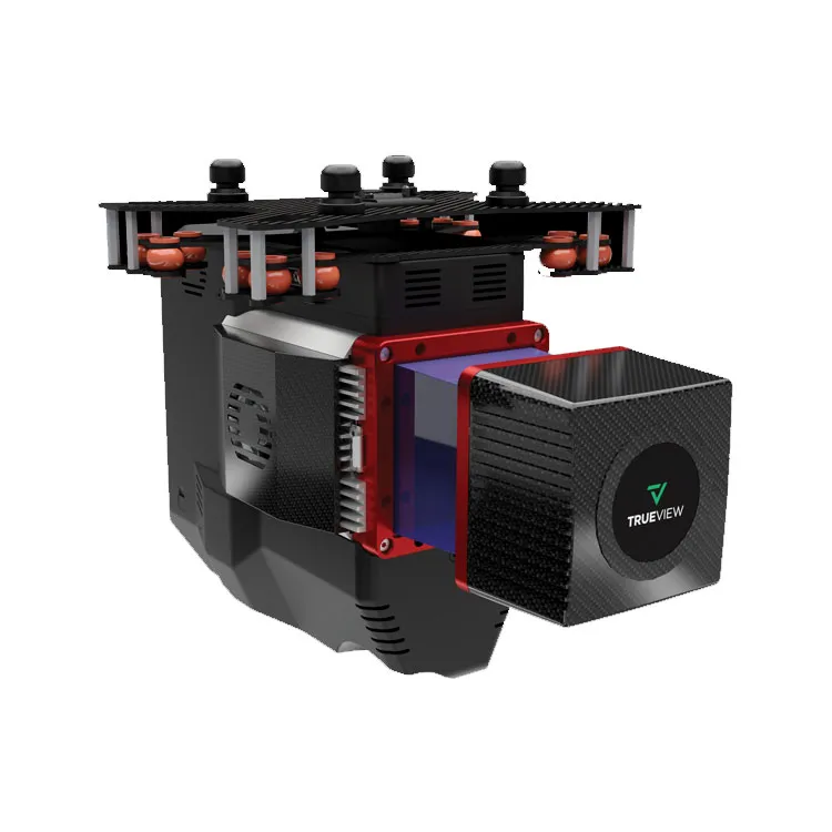
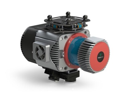
Description The TrueView 585 Features Three Cameras and a Higher Point Density for an Entry Level NDAA Compliant System The True View 585 extends GeoCue’s portfolio of NDAA compliant systems with a high-resolution, longer-range survey grade LiDAR option that delivers superior object detection capabilities. This is our most affordable, NDAA compliant system. LiDAR Sensor • Sensor: Ouster OS2 • 865 nm Class 1 eye safe • Range: 350 m @ > 90% detection probability, 100 klx sunlight • Accuracy: 25 mm at 60 m distance • Number of Lasers: 128 • Total Pulse Rate: 1,300 KHz • Rotation Speeds: 10 or 20 Hz (configurable) • Beam Spot Size: 19 mm • Returns: 2 Applications • Rail Inspection • Wire Extraction – Distribution • Road Design Platform • Size: • Length: 300 mm • Width: 185 mm • Height: 195 mm • Weight: • 2.18 kg for payload • 2.66 kg for payload with accessories • Power Consumption: 18 – 24 W (28 W peak at startup, 30 W peak if operating below 10 °C) • Operating Voltage: 9V – 34 V, 12 V or 24 V nominal • Operating Temperature: -20 °C to 60 °C System • Control: WIFI button control • Storage: 128 GB internal storage 32 GB external Navigation Solution • INS: Trimble Applanix APX15EI • Post-Processing Options: • Single Base • PP-RTX (no base station) with fast convergence • SmartBase • Performance (PPK): • 0.03-0.05 RMSE • Better than 0.08º heading, 0.025 pitch & roll Cameras • Type: 3 * 20 MP Sony mechanical leaf shutter, calibrated • Motion Blur: 0.37 pixel @ 5 m/s • FOV: 113º FOV configuration Processing Modules • LP360 Drone (included with the following processing modules) • Strip Adjustment • Photo • 3D Accuracy • Optional Add On’s • Business Intelligence • Unlimited Project • Metashape Console LP360 Cloud (optional) • Access – Store & Share • Starter – Stream & View Data – Power Search – Automatic Ground Classification